

Plus, receive recommendations and exclusive offers on all of your favorite books and authors from Simon & Schuster.
Published by Mich Maps
Distributed by Simon & Schuster
Table of Contents
About The Book
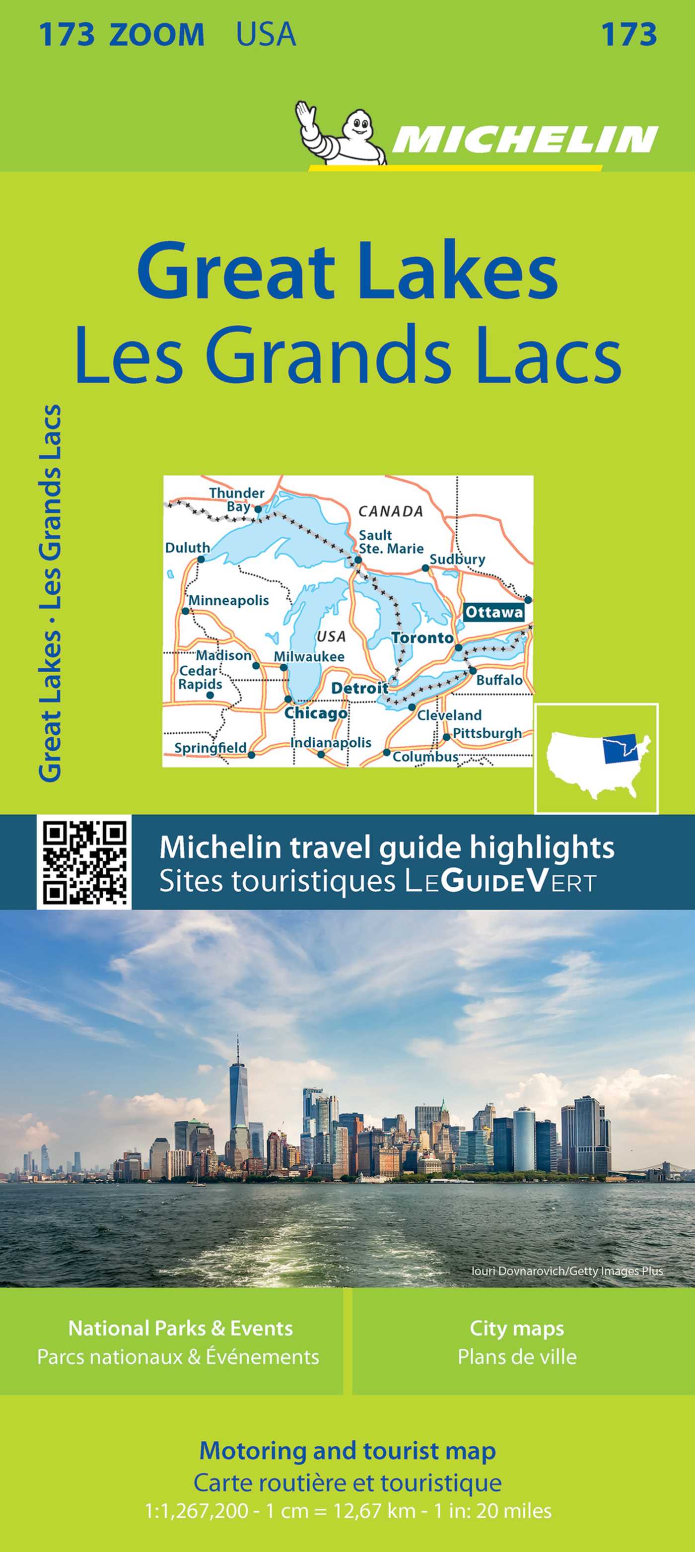
Michelin USA Great Lakes Map 173 (scale: 1:1,267,000)—part of Michelin's brand-new US regional map series with bright green covers—zooms in close for comprehensive coverage of Wisconsin and Michigan, as well as areas of the other states surrounding the Great Lakes (Minnesota, Iowa, Illinois, Indiana, Ohio, Pennsylvania) and southern Ontario in Canada. It contains city maps for easy driving in Buffalo, Chicago, Cleveland, Detroit, Indianapolis, Milwaukee, Minneapolis/St. Paul, Pittsburgh and Toronto. Michelin star-rated sights and a selection of not-to-be-missed annual events and festivals serve as inspiration for future road trips. Outdoor enthusiasts have their choice of national parks for scenery and activities: Cuyahoga Valley, Isle Royale and Voyageurs. The QR code on the front cover offers even more travel information on destinations through Michelin's ViaMichelin website. The map includes a comprehensive index, a distance chart, and a multi-language legend in English and Spanish. Those traveling for business or pleasure, as well as locals traveling farther afield, will appreciate Michelin's high standard of clear and accurate mapping and the additional information on parks, events and points of interest to make the journey more enjoyable.
Product Details
- Publisher: Mich Maps (December 1, 2017)
- Length: 1 pages
- ISBN13: 9782067190856
Browse Related Books
Resources and Downloads
High Resolution Images
-
Book Cover Image (jpg): Michelin USA Great Lakes Map 173
Sheet map, folded 9782067190856


